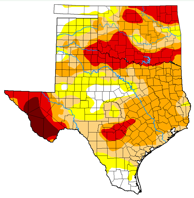
Drought Map Behind The Rain
This Week’s Map From October 29
WE have ourselves a brand new day in the USA. The sun did rise, and I pinched myself to make sure I wasn’t dreaming. No, it’s true. Some of my readers best dreams have come true today. You have what you wished for, and we can mark this day.
Here at Fish Camp North? I have been into and through four Federal Administrations, and now we have a fifth. My political silence, or (attempts at) virtual silence, continues NOW in behalf of the love of fly fishing …
This map is way behind a weekend of serious rain that struck at the heart of the drought in North Central Texas and Central and Border Oklahoma. I have heard the aquifer feeding the Blue River has been charged up some? But, now more than ever, we need to go take a look.

I have not found the pattern to when these maps are posted yet. At a glance, it looks like seven days.

You must be logged in to post a comment.