
Drop Off The Map
One of the reasons I push people to share and allow me to share their fishing locales is that if that particular place that I highlighted encounters difficulties – manmade or nature made – I can inspire a call to action in behalf of that spot. If, on the other hand, I have been sworn to secrecy, that tree can fall in the forest and no one will ever hear it.
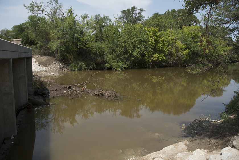
And that’s the case with Drop, Texas. Sworn to secrecy, it’s a place I have snuck off to a few times over the years, sometimes just to look at the massive flood waters twenty feet above the low bridge, or during placid stages, walking the hard stone bottom pursuing carp lazily eating tree fallen bugs off the smooth bottom, and tempting sunfish with poppers in gin clear conditions.
The rope swinging over the swimming hole would have a handful of people running like an assembly line from the splashdown to the rope. It was also where the bigger bass hung out. Weekends and holidays were a complete zoo atmosphere, and casting from the low bridge meant waiting for traffic to clear the bridge. It was about as close to a “Hill Country Experience” as you could get within fifteen miles of Denton, Texas.
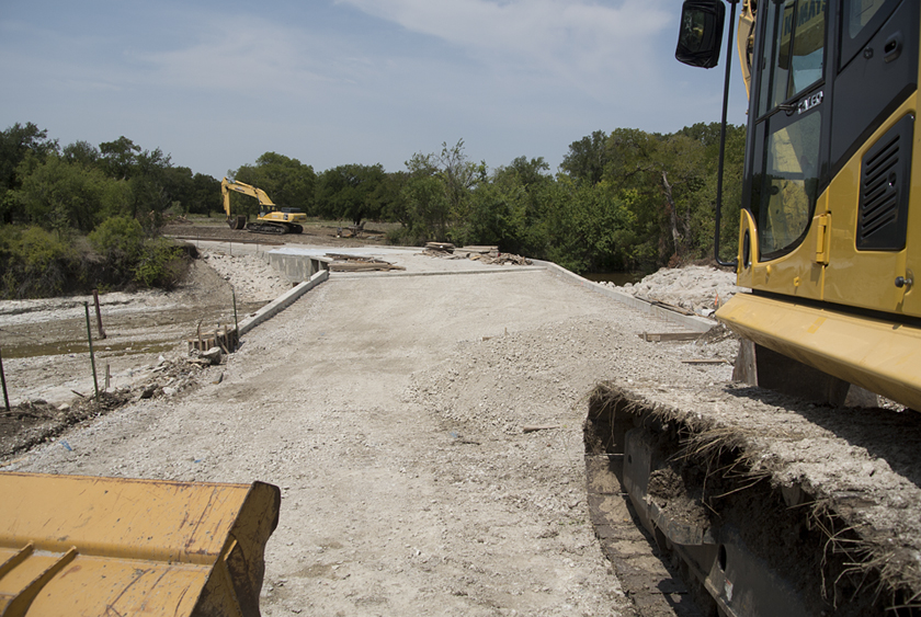
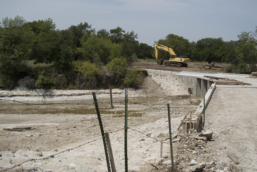
And there’s the militant land owner down from the bridge, a yahoo who concreted “No Trespassing” signs into the riverbed, and called the TPWD in to check my license, hardly a random act in Drop, Texas. I am sure he is happy that the bridge will allow him to get across the creek in virtually all conditions, and that the party is over, but the new bridge also serves to dam up the low flowing creek to a trickle between his signs.
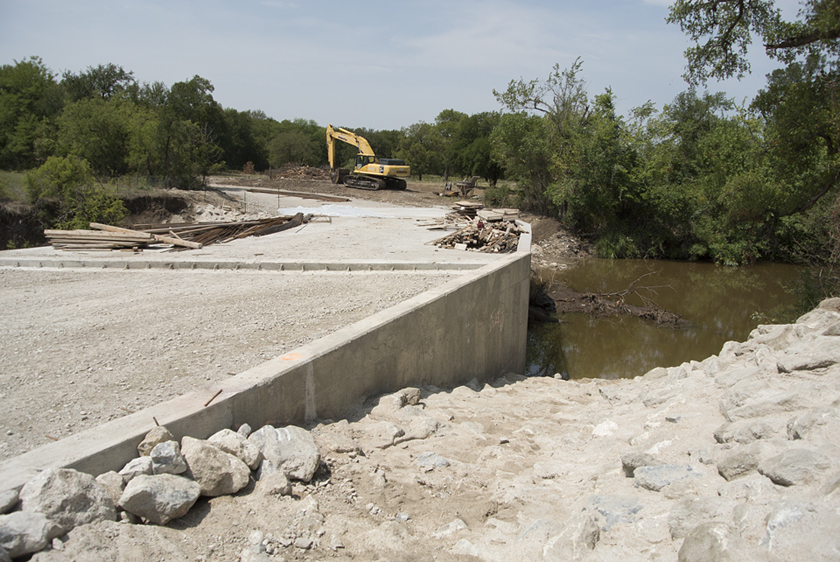
Well, things certainly change. This “progress” makes a once quaint little water crossing an aging memory. The bridge has slowed flow and the water above the bridge is the color of rust. The water color could be a factor of the recent rains, so once the road actually opens (it’s about a quarter mile walk in to the bridge), I will take another look. The thing is … they also mixed concrete and rocks to cover the sides of the bridge (where erosion could happen). That is intriguing because, that ease of access combined with the damming of the water could COULD make this an excellent kayak fishing spot.
I seriously doubt a little publicity from here would have caused a rush to Drop, Texas, over the years, and would like to think it could have added a few voices of dissent to the bridge project when it hit our radar, but … there are other battles to fight, and in much higher profile locations in Texas (there’s your teaser for next week) with a lot more to lose. Get ready because this next (fishing environmental disturbance) one’s going to be a long and bumpy ride.
For now though, you can take Drop, Texas, off your fly fishing destination map. And remember Drop as a great example of why we share information. I will let you know how the follow up turns up once the bridge is open (it’s taking forever).
You must be logged in to post a comment.